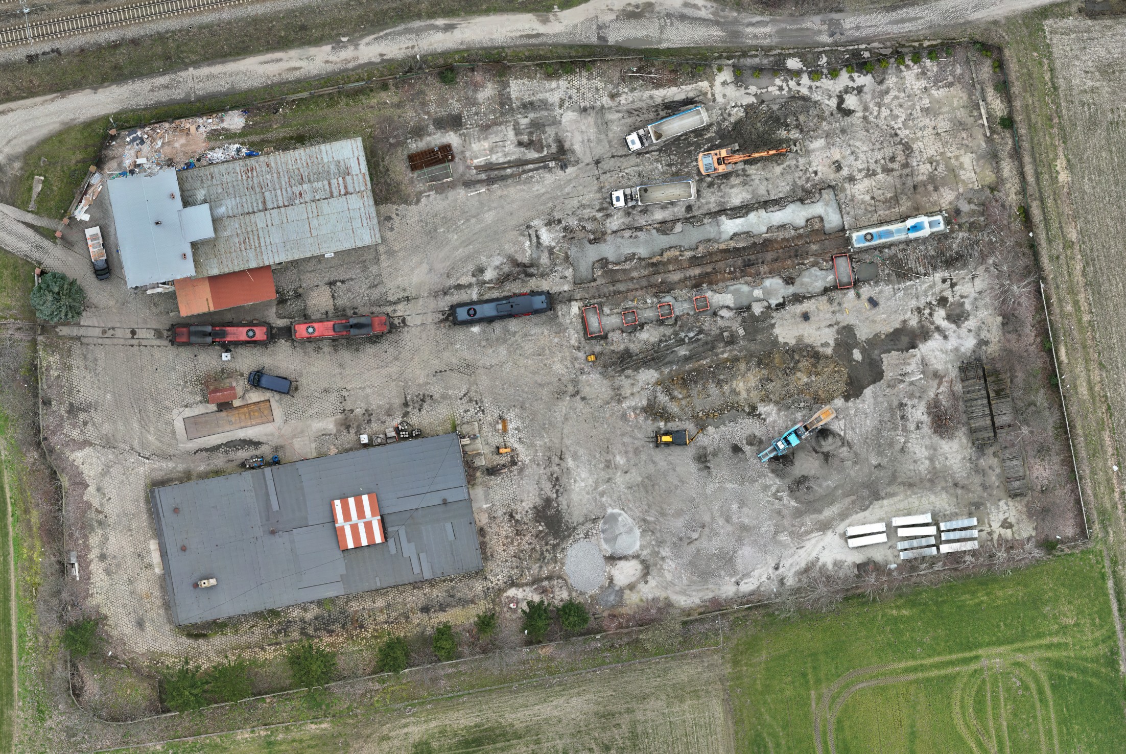
Orthophotos
Orthophotos are processed aerial photographs that result in a precisely embedded orthogonal projection image of a surface in a geographic coordinate system.
This kind of study is the best development of local vision, which you can use in many different ways. It allows you to easily go back in your memory to the details, avoid misunderstandings at the interface of different industries in the course of the investment, or accurately document the course of the investment over time.

The most practical uses of orthophotos:
An orthophotomap design under lay gives the designer a vivid preview of the working ground. It allows you to catch documentation errors and avoid costly collisions.
Documentation of damage of any kind, clearly defined over time is the best material during a dispute with the insurer. Agricultural damage, flooding, burn documentation, natural disasters, are just a few of the areas where drones are indispensable in creating documentation.
A site visit in the form of an orthomosaic, allows documenting large areas of space, railroads and roads or hard-to-reach areas at the stage of bid preparation.
Good quality materials will bring your team’s meetings to a new, higher level.
